A week on foot
Three summits, ebony forests, waterfalls where a walk can end in the water: Mauritius is better explored on foot than one might think. A week built as a progression, from the forest trails of the plateau to Le Morne Brabant.
October 11, 2026
 AI-generated image
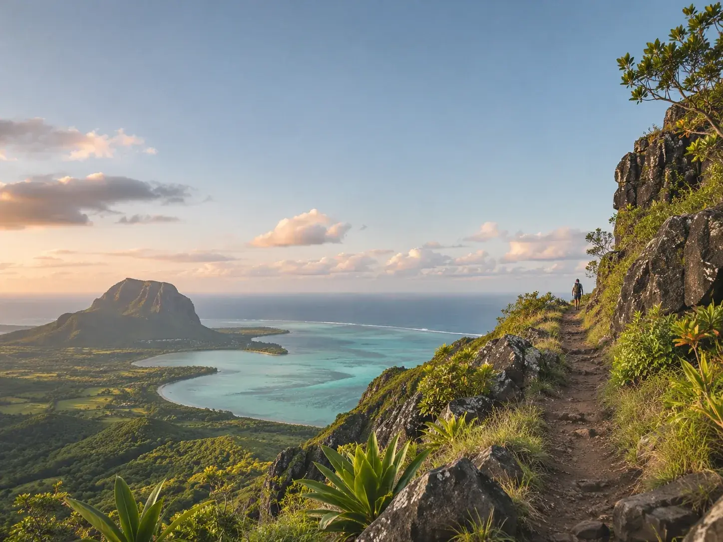
Mauritius is thought of first as a lagoon island, which is to forget that it is volcanic, creased with mountain ranges, and covered in places by forests being restored tree by tree. Its trails range from the easy stroll to the summit you climb only with a guide. A week makes it possible to string them together as a progression, the gentlest first, the most demanding later. The same rules apply everywhere: sunscreen, good shoes, plenty of water, someone who knows where you are going, and a certified local guide as soon as the terrain gets difficult.
Days one and two: the plateau, then the Seven Cascades
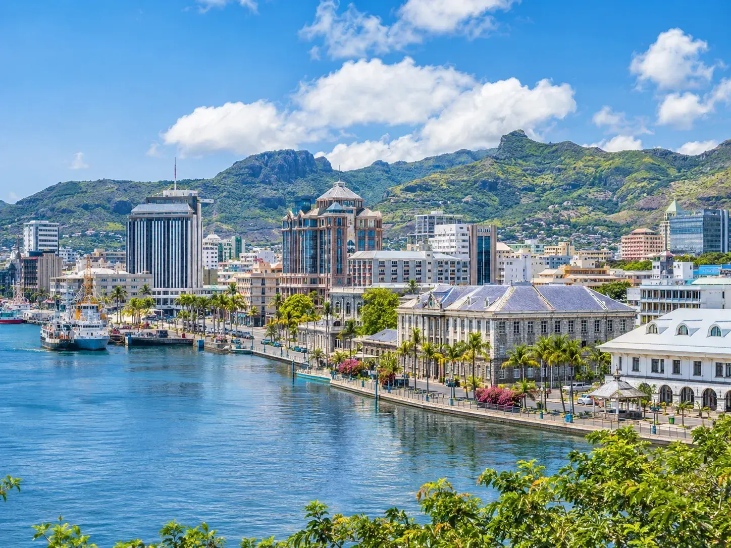
The Monvert Nature Walk, at Forest Side, about three kilometres from the centre of Curepipe, makes a good start. In a state forest of 73 hectares, the Forestry Service has laid out two trails that start from the same place and both end at a platform raised above the canopy: Bois de Natte, 2.8 kilometres, and Bois d’Ébène, 2.5 kilometres. A fernery shows native ferns and orchids, and an arboretum more than 150 native or endemic species. In the afternoon, from the viewpoint at Trou aux Cerfs, a crater open at 605 metres, the eye takes in Rempart Mountain, the Trois Mamelles and the Moka Range.
The next day, starting from the village of Henrietta, the Seven Cascades string out through Black River Gorges National Park; the highest is forty-five metres tall. Eight hundred metres of walking, a quarter of an hour, are enough to reach the first falls. The long route, five and a half kilometres, takes two to three hours and starts from the top of the highest fall. A guide is only useful for going deeper into the park. For those at ease with heights, canyoning outings abseil down part of the falls.
 AI-generated image
Day three: Le Pouce
Le Pouce, the island’s third-highest peak, rises to 812 metres. Charles Darwin climbed it in 1836. Allow three to four hours there and back, on a waymarked path over rocky ground, with a final stretch to be climbed using your hands. Set off early to avoid the heat. Several approaches lead to the summit, of different lengths: choose yours before setting out. At the top, the view opens through three hundred and sixty degrees and plunges down onto Port Louis, and you stand exactly on the boundary between the districts of Port Louis and Moka.
Days four and five: the estates of the south-east
La Vallée de Ferney, north of Mahébourg, opens four waymarked trails in the Bambou mountain range: five kilometres and seventy-five metres of ascent for the easiest, eighteen kilometres and nine hundred and seventy metres for the hardest, a technical route of five to six hours. Each has its latest start time, and for the longest it falls at 10.30am. The trail is exposed to the sun: a hat, water and mosquito repellent are essential.
The next day, further south, the Domaine de Lagrave, in the village of Bananes, waymarks three colour-coded trails through near-virgin forest that is home to deer, monkeys and wild boar: blue, three kilometres in about an hour and a half; red, six kilometres in three hours; black, for experts, ten kilometres in four and a half hours. The estate closes at 5pm, which sets the starting time for the longer routes. To cool off, the Eau Bleue waterfall, near Cluny, is just five minutes’ walk along a slippery path: a thirty-metre fall and a pool of vivid blue, where you can swim.
 AI-generated image
Days six and seven: Chamarel, then Le Morne
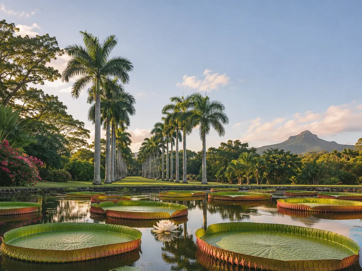
At Chamarel, Ebony Forest has been restoring ebony forest since 2006, over 195 hectares. Its hikes, all easy, range from 2.3 to 6.1 kilometres. The Ridgeline Trail leads to Sublime Point in about half an hour; the Piton Canot trail climbs a hundred and forty metres in four hundred metres of path, to a summit at 542 metres, and is slippery in wet weather. The last start for Piton Canot is at 4pm, and the site closes at 5pm: it is best to arrive before 2.30pm.
The week ends on the mountain that closes off the south-western tip of the island, at the heart of a landscape inscribed on the World Heritage List. The climb up Le Morne Brabant is done with a guide and takes about four hours.
And to go higher
Two peaks remain for those who want to go further. The Piton de la Petite Rivière Noire, the highest point in Mauritius at 828 metres, is reached over five to six kilometres, with a demanding final section; clouds sometimes hide the view, and the Pétrin visitor centre gives out the route. Pieter Both, the island’s second-highest peak, is climbed from the village of La Laura and should only be attempted with the right equipment and a professional local guide, who will take you through the tricky sections. As for La Tourelle, behind Tamarin, 563 metres by a route waymarked with X or Z marks and fitted with ropes, it crosses private land, for which permission may be needed, and it too is done with a guide.
To book
Things to do from this article
- Book on GetYourGuide →
Guided hike · Mahébourg
Ascent of Lion Mountain, Mahébourg - Book on GetYourGuide →
Guided hike · Roches Noires
Guided adventure to the seven caves of Roches Noires - Book on GetYourGuide →
Guided hike · Souillac
Hiking circuit in the wild south, with a guide - Book on GetYourGuide →
Guided hike · Henrietta
Half day at Tamarin Falls - Book on GetYourGuide →
Guided hike · Chamarel
From Chamarel: waterfall eco-hike - Book on GetYourGuide →
Guided hike · Souillac
Gris Gris: coastal walk and waterfall, guided nature outing
The addresses
Places mentioned
Read next
 AI-generated image
A rainy day in Mauritius
 AI-generated image
A week on the water
 AI-generated image
The south in three days
Where to stay
Stay in Mauritius
Places to stay that are still available, with current prices, compared across the main booking platforms.