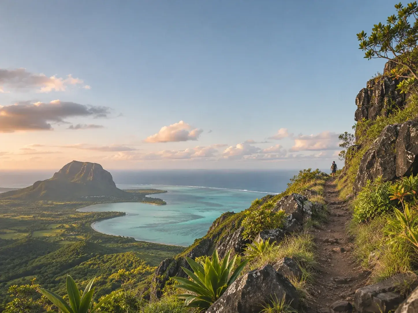
 AI-generated image
Guided hike
Guided hike up Le Morne Brabant
Le Morne · Black River
A guided climb of Le Morne Brabant, in the south-west of the island, at the heart of a landscape inscribed on the UNESCO World Heritage List.
from €50 per person
Hikes
What to do in Mauritius: places to visit and outings to book, arranged by kind, from guided hikes to catamaran cruises.
AI-generated imageGuided hike
Le Morne · Black River
A guided climb of Le Morne Brabant, in the south-west of the island, at the heart of a landscape inscribed on the UNESCO World Heritage List.
from €50 per person
Hike
Black River
The largest national park in Mauritius, more than fifty kilometres of trails, and the island’s highest point at 828 metres.
Hike
Chamarel · Black River
From 2.3 to 6.1 kilometres of trails in an ebony forest under restoration, with a 300-metre raised walkway and a summit at 542 metres.
from MUR 600 per person
Hike
Grand Port
Four waymarked routes from 5 to 18 kilometres in the Bambou range, graded from easy to difficult.
from MUR 500 per person
Hike
Flacq
A national park created in 2011 in the north-east, quieter than the Gorges, with a gentle loop within reach of every walker.
Hike
Black River
The highest point in Mauritius, 828 metres, in 5 to 6 kilometres, with a demanding final stretch.
Hike
Chamouny · Savanne
A 450-acre park at Chamouny: three waterfalls, a 23-coloured earth, a forest of endemic trees, and a walking trail to link them.
from MUR 550 per person
Hike
Henrietta · Plaines Wilhems
Seven waterfalls in Black River Gorges National Park, the highest of them 45 metres, starting from Henrietta.
Hike
Tamarin · Black River
A 563-metre summit behind Tamarin, in 3.5 kilometres, to be climbed with a guide and, where needed, permission to cross.
Hike
Bel Ombre · Savanne
Thirteen hundred hectares of forest, rivers and waterfalls at the heart of the Domaine de Bel Ombre, explored on foot with a guide.
Hike
Moka
The third highest summit in Mauritius, a three to four hour climb there and back, in the footsteps of Charles Darwin, who climbed it in 1836.
Hike
La Laura · Moka
The island’s second highest summit, in the Moka range, to be attempted only with the right equipment and a local professional guide.
Hike
Souillac · Savanne
A ten-metre waterfall over a face of jagged rectangular rocks, 2.5 kilometres from Souillac, where people come to swim.
Hike
Bananes · Grand Port
Three waymarked routes of 3, 6 and 10 kilometres through more than 500 arpents of forest, on the flank of Lagrave mountain, at the village of Bananes.
Hike
Souillac · Savanne
A four-kilometre walk near Souillac, along a lush and easy trail, to a waterfall you can swim behind.
Hike
Cluny · Grand Port
A thirty-metre waterfall behind a curtain of forest, near the village of Cluny, and a pool of deep blue where people swim.
Hike
Plaines Wilhems
Two trails of 2.8 and 2.5 kilometres through 73 hectares of state forest at Forest Side, with a fernery, an arboretum and a platform above the canopy.
Hike
Souillac · Savanne
Four kilometres in two hours in the remote south, best walked with a guide: the trail is hidden, and known mostly to locals.
Hike
Baie du Cap · Savanne
A rock overhanging the coast road at Baie du Cap, climbed by a narrow staircase for a view of sea and countryside.
Hike
Pamplemousses
A nature walk through indigenous flora kept by the Forestry Service, at Pamplemousses, near the SSR National Hospital.
The guide to Mauritius: where to stay, what to do