Beneath Le Morne, the beaches of the south-west
A mountain at the water’s edge, kilometres of public sand, a lagoon crossed by kitesurf sails and, offshore, a waterfall that is not one. The whole south-west of Mauritius revolves around Le Morne Brabant.
August 11, 2026
 AI-generated image
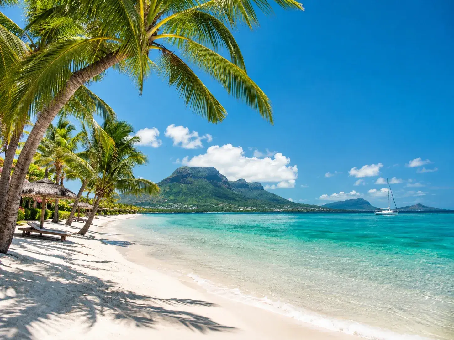
In the south-west of Mauritius, Le Morne is never out of sight. The mountain closes off the tip of the island, raises its mass more than 500 metres above the lagoon and serves as the backdrop to everything done here, whether swimming, walking or gliding over the water. Around it lie some of the longest public beaches on the island, a lagoon known to kitesurfers the world over, and an islet resting on the water a short way from the shore.
Le Morne beach, the longest in the west
Le Morne beach stretches out at the very foot of the mountain, and it is hard to imagine a more spectacular setting in which to lie in the sun. White sand, clear water, coconut palms: the place needs nothing more, and people happily stay until sunset.
Public land here is considerable. It is made up of four sections totalling 22.3 hectares and nearly 3.5 kilometres of shoreline. The longest, La Pointe Cassis, in the village of Le Morne, has been public since 2014 and runs along the sea for 1,940 metres, the longest shoreline of any single section of public beach on the whole west coast. La Pointe Sud-Ouest, at the foot of Le Morne Brabant, has 10.9 hectares for 1,000 metres of shoreline. The site also holds a rare peculiarity: near the former Berjaya hotel, nearly 400 square metres have been withdrawn from public land, a case of which the island knows only one other example.
The beach is so busy that on Easter Monday a duty ambulance is stationed here for it alone, near the Dinarobin hotel. The mountain and the beach are two separate outings: the ascent of Le Morne Brabant is made with a guide and takes about four hours.
 AI-generated image
The kitesurfers’ lagoon
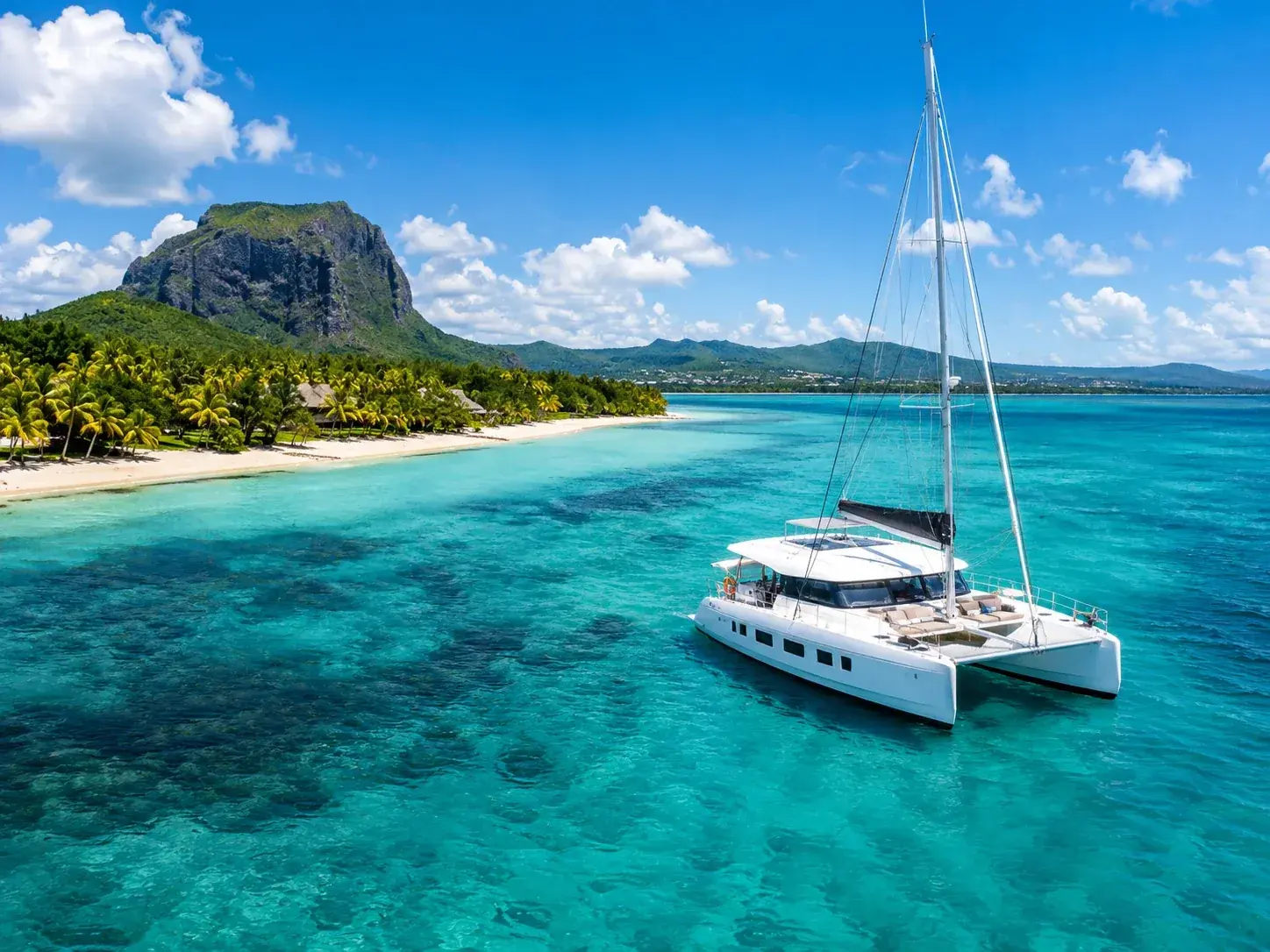
The south of the island is known for its strong, steady trade winds, especially from April to November, and they have made Le Morne beach one of the great kitesurfing venues. The lagoon offers flat water for learning, easy waves for progressing and big swells for the most seasoned. One Eye, at the tip of Le Morne, ranks among the most famous spots in the world, and there is a choice of surf and kitesurf schools for those learning.
The lagoon also lends itself to quieter pleasures, such as a paddleboard outing towards the setting sun, with Le Morne at your back.
La Prairie and the Macondé road
Between Le Morne and Baie du Cap, La Prairie is a long beach of mixed sand and grass, with Le Morne in the background. Its shallow waters make it a favoured spot for snorkelling. Public land here brings together three sections, 11.7 hectares and nearly 1.3 kilometres of shoreline, and its redevelopment includes a car park of some fifty-six spaces.
It is also from La Prairie that seaplanes take off to fly over the lagoons and the most astonishing curiosity in the region. Off the Le Morne peninsula, seen from the air, the seabed seems to fall away in an underwater waterfall. The illusion is perfect, but it is not water that is falling. The island rests on an underwater plateau no deeper than 150 metres, before the seabed plunges to more than 4,000 metres. Currents carry sand and silt over this edge, and it is this sliding movement that, seen from above, traces the shape of a waterfall. Its exact outline can be seen only from a plane or a helicopter; from the summit of Le Morne Brabant, you can make out its silhouette.
Further on, Baie du Cap has one of the smallest public beaches on the island, 642 square metres for 40 metres of shoreline. The village is worth a stop mainly for the Macondé viewpoint, an overhanging rock climbed by a narrow staircase, with the sea on one side and the countryside on the other; the wind blows hard near the top, and it is wise to keep away from the edge. At its foot runs the Macondé road, the B9, which follows the coast for some forty kilometres between Souillac and Grande Rivière Noire, the ocean on one side, the mountains on the other.
 AI-generated image
Île aux Bénitiers and the dolphins
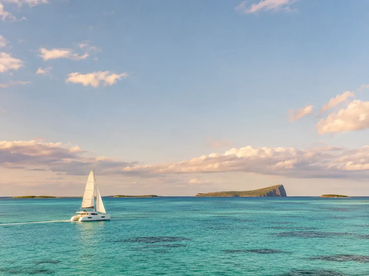
Opposite the coast, Île aux Bénitiers rests in the lagoon, very close to Le Morne: an uninhabited islet of about two kilometres by five hundred metres. The day is spent picnicking on the beach, watching birds and wandering through a small coconut grove. In the lagoon, you snorkel out to Crystal Rock, a rock shaped like a giant clam. The island is reached by fishing boat from La Gaulette or Case Noyale, or by catamaran and speedboat on organised excursions, often with a barbecue at lunchtime.
The crossing sometimes brings another encounter. The west coast is the favourite territory of dolphins, bottlenose and spinner, and more than a hundred can sometimes be seen gliding out to sea beyond the Le Morne peninsula. Watching them is governed by regulations dating from 2012: you go out with a licensed operator, the boat approaches them from the side and at reduced speed, you neither touch nor feed them, and no more than three people are ever in the water at the same time, the designated lifeguard included.
A rare peninsula
Le Morne is more than a backdrop. The peninsula is home to two plants of great rarity, the mandrinette, Hibiscus fragilis, and the boucle d’oreille, Trochetia boutoniana, which is the national flower of Mauritius. The mountain, at the heart of a cultural landscape inscribed on the World Heritage List, can be seen from almost anywhere on the west coast: from the lagoon as from the shores of Tamarin or La Preneuse, it remains the landmark of an entire coast.
To book
Things to do from this article
- Book on GetYourGuide →
Horse riding · Le Morne
One-hour horse ride at Le Morne, with ocean views - Book on GetYourGuide →
Boat trip · Le Morne
Private boat: Île aux Bénitiers, a swim near dolphins and lobster - Book on GetYourGuide →
Entry ticket · Chamarel
Entrance ticket for the Seven Coloured Earth geopark, Chamarel - Book on GetYourGuide →
Entry ticket · Chamarel
Chamarel: entry ticket to the Seven Coloured Earth Geopark - Book on GetYourGuide →
Day tour by car · Chamarel
Chamarel: tour of the four parks - Book on GetYourGuide →
Private tour · Chamarel
Chamarel: private guided day tour of the south-west
The addresses
Places mentioned
- Macondé viewpointHike · Baie du Cap
Read next
- AI-generated image
Public beaches: the shore that belongs to everyone
- AI-generated image
The sea through the seasons
- AI-generated image
The islets, beaches out at sea
Where to stay
Stay at Le Morne
Places to stay that are still available, with current prices, compared across the main booking platforms.