The sea through the seasons
Water at 30°C in summer and 22°C in winter, a trade wind that strengthens in July, a swell born thousands of kilometres away: in Mauritius, the beach changes with the months. What to know about wind, swell and water to choose your coast.
October 28, 2026
 AI-generated image
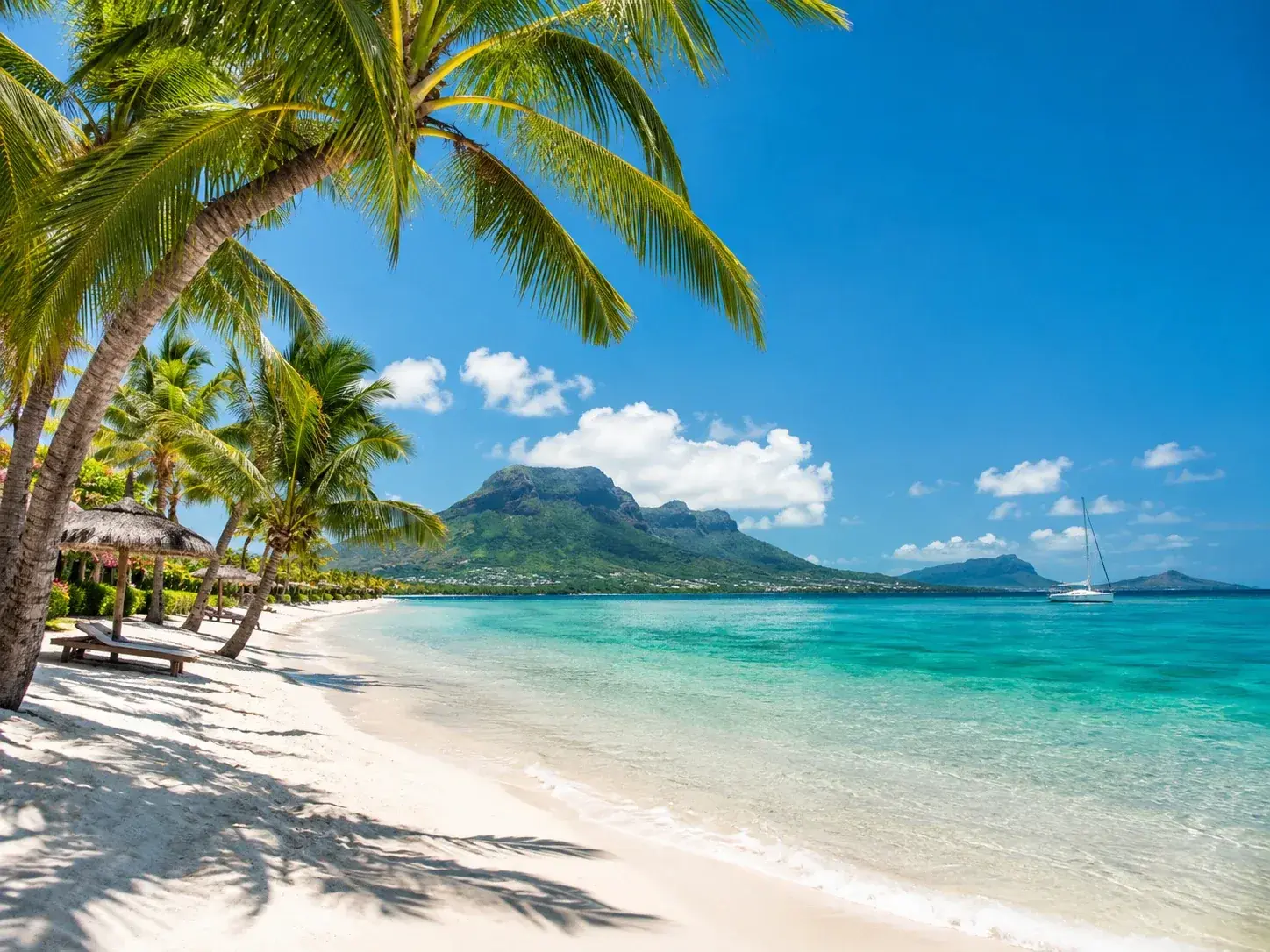
Many people choose Mauritius for its sea without knowing that it changes with the months. The water is not the same temperature in February and in August, the wind does not blow the same way on every coast, and the swell, sometimes arriving from very far away, can make the water of a placid lagoon rise. The beaches are the same all year round; the way to enjoy them is not.
Two seasons, two seas
Summer, from November to April, is the season of heat. On the coast, daytime temperatures average between 28 and 33°C, and the sea between 26 and 30°C. Mornings are often brilliant and almost windless, ideal for settling on the sand; the afternoon may bring a shower. Rain is most likely from January to March, and thunderstorms break mainly from December to April. April, at the end of the season, is the connoisseurs’ favourite: the water has stored up the summer’s heat, and the risk of rain recedes.
The southern winter, broadly from May to October, cools the air and the water. Daytime temperatures on the coast drop to between 22 and 28°C, the water to between 22 and 25°C. The beaches are quieter, and in the evening a light jumper is far from superfluous. This is also the season when the wind takes over.
 AI-generated image
The wind, from trade wind to sea breeze
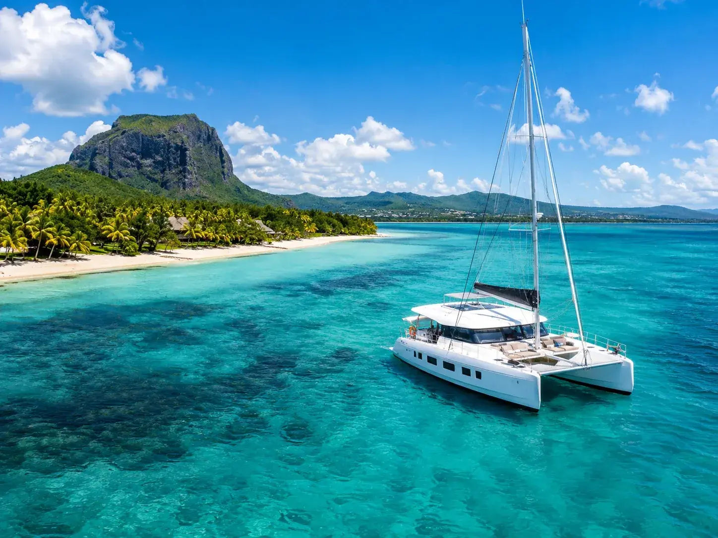
Mauritius lives to the rhythm of the trade wind, the south-easterly surface wind that blows from the subtropical high-pressure belt. In winter it strengthens, especially on the east and south coasts, and July and August are the windiest months of the year. This is the kitesurfing season, which runs from April to November and makes Le Morne one of its great playgrounds.
The averages from the weather stations confirm this, with some surprises. In August, the mean wind speed reaches 17 kilometres an hour at Médine, in the west, 15 at Plaisance, in the south, 13 at Pamplemousses, in the north, and a little under 12 at Fuel, in the east. At Médine, it does not exceed 8 kilometres an hour in January: the west, so calm in summer, becomes in winter the windiest of the four.
Local breezes add to the picture. On a hot, sunny day, the land warms faster than the sea, and a sea breeze blows towards the shore. At night the movement reverses, and a lighter land breeze heads out to sea. Finally, when a cold front crosses the island, it brings showers and a strengthening of the south-easterly wind, followed by a drop in temperature and humidity.
Swell from afar
Swell is not the wave raised by the day’s wind. It is born far away, beneath a storm or in an area of strong winds, and sometimes travels thousands of kilometres before dying out; along the way its crests become rounded, its surface smooths and its rhythm grows long and regular. There is always swell at sea, but its size varies.
Three factors govern its effect on a beach. First, its strength where it began. Second, the tide: swell is stronger at spring tides, at full and new moon. Third, the timing: at high tide, in the lagoons, it can cause a significant swelling of the water. A wave-rider buoy has monitored the state of the sea off Blue Bay since September 2009, and tide gauges have measured the water level at Trou Fanfaron since 1986 and at Blue Bay since 2008.
When a heavy swell from afar or the storm tide of a distant cyclone threatens the coast, the Meteorological Services issue a high waves warning, twelve hours in advance where possible, by special communiqué. The advice is unequivocal: avoid the beach and the sea, and bring boats to shelter. During the cyclone season, from 1 November to 15 May, there is also the risk of storm surge, the abnormal rise in the water level caused mainly by the winds of a nearby cyclone, over and above the predicted tide.
 AI-generated image
Rain, coast by coast
Rainfall, for its part, draws a sharply contrasted map. In August, at the heart of winter, an average of 15 millimetres falls at Médine, in the west, against 88 at Plaisance, 75 at Pamplemousses and 105 at Fuel, on the east coast. In February, at the height of summer, Médine receives 182 millimetres, Fuel 334. The west is thus the driest coast all year round, and the east the wettest; winter widens the gap.
Choosing your coast month by month
A simple rule of thumb emerges from these averages. From November to April, the warmest water, the windless mornings and the liveliest underwater life make the whole island a destination for swimming and snorkelling, provided you keep an eye on high waves warnings and the cyclone season. From May to October, the west offers its driest days at the price of a stiffer wind, the south and east belong to board-sports enthusiasts, and beaches across the island regain their calm.
Between the two, April and October each have their supporters: the first for its still-warm water, the second for its dryness. There is no bad season for the beach in Mauritius, only coasts better suited than others to each month of the year.
Read next
- AI-generated image
Public beaches: the shore that belongs to everyone
- AI-generated image
The islets, beaches out at sea
- AI-generated image
Sunday at the beach, the Mauritian way
Where to stay
Stay in Mauritius
Places to stay that are still available, with current prices, compared across the main booking platforms.