The north, bay by bay
From Baie du Tombeau to Roches Noires, the north lines up forty-one public beaches, from broad sandy bays to coves a few dozen metres long. A lively coast, turned towards the offshore islands, where every stretch of shore open to all has its own story.
July 3, 2026
 AI-generated image
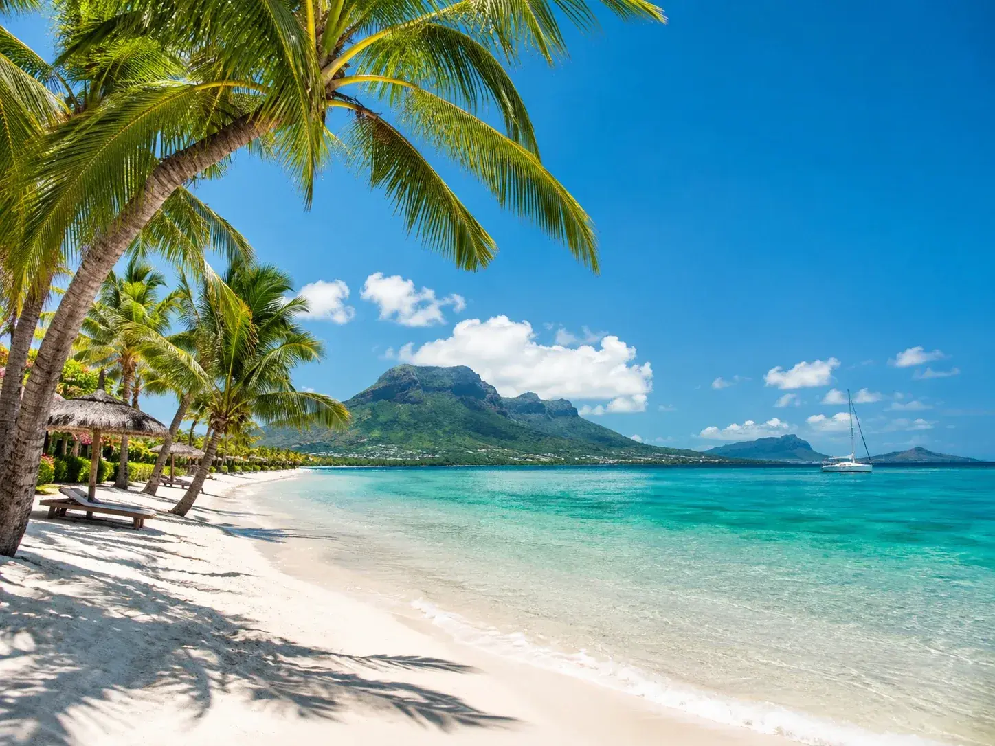
The north of Mauritius reads like a succession of bays. From Baie du Tombeau to Roches Noires, the coast lines up forty-one public beaches: nearly 90 hectares of sand open to all, and a little over thirteen kilometres of shoreline. This is the coast of lively market towns and fishing villages, the one from which the offshore islands come into view, and the one where public land has often been won piece by piece, between two hotels or two houses.
Early in the morning, fishermen cross the wide lagoon to reach the open sea. A little later, the beaches wake up: flat sand, calm water, water sports, and everywhere the outline of the northern islets, towards which the boats and catamarans set out.
From Pointe aux Piments to Mont Choisy
On the north-west coast, the sequence opens with Le Goulet, 470 metres of public shoreline since 1991. Swimming here is dangerous in places: on Easter Monday, the police post lookouts in front of the dark patches of water considered dangerous. People come for the sand rather than the sea.
Pointe aux Piments, just to the north, is the most fragmented public beach on the island: nine sections along the same coast, 12.3 hectares and nearly 2.6 kilometres of shoreline. The largest is Pointe Cimetière, 4 hectares and some 740 metres. The section known as the main beach is, by contrast, the smallest, barely 0.2 hectares. Each is identified by a neighbour: the fish landing station, the former Colonial hotel or the aquarium.
Trou aux Biches follows, in three sections that tell the story of half a century: the one facing the former aquarium has been public since 1940, the one by the police station since 1984, the one by the Casuarina since 1991. Together they run along the sea for 988 metres. Here you can walk for a long time in the shade of the filaos, explore the seabed with a mask or on a dive, the diving schools being close at hand, and wait for the sunset, which this coast faces head on. Since 22 June 2026, three months of works have been improving access to the beach and its fencing, as at Pointe aux Piments; the work areas are closed to the public.
Mont Choisy closes the sequence, and it is the great beach of the north. Public since 1982, it covers 16.7 hectares and borders the sea for nearly 1.4 kilometres, the longest public shoreline in the whole region. A long ribbon of fine white sand follows the curve of a turquoise bay fringed with filaos, some thirty minutes’ drive from Port Louis. The calm, clear water is its first reason for being: people swim, float, and peer through a mask at a colourful marine world. The beach has been redeveloped, with a car park for around fifty cars and spaces reserved for people with reduced mobility, open-air showers, outdoor exercise equipment, picnic tables, lighting and more than five hundred plants. Under the trees, a woman sells pineapples, mangoes and pink and white jamalacs, the local rose apple; the pineapple is eaten here with a touch of chilli.
Grand Baie and the northern tip
Grand Baie is the centre of gravity of the north. The town curls around a sheltered horseshoe bay, on an emerald-green lagoon. Some fifty restaurants and cafés line the bay and the coast road that runs on towards Pereybère, and it is here that the island’s nightlife is at its liveliest. The public beach, for its part, is modest given the fame of the place: four sections acquired in 1991, 2010, 2017 and 2021, for 710 metres of shoreline in all.
Neighbouring Pereybère has only 108 metres of shoreline for 1.8 hectares. Yet it is the base for the public services on this coast: a beach services office is located here, and it is from here that the duty ambulance covers, on Easter Monday, La Cuvette, Bain Boeuf, Anse la Raie, Mare la Raie and Butte à l’Herbe. Bain Boeuf, a little further up, unrolls 727 metres of long, narrow shoreline.
At the tip, Cap Malheureux holds a discreet record: 39 metres of public shoreline, the shortest in the whole region. People come less for the beach than for the church of Notre-Dame Auxiliatrice, its bright red roof set against the turquoise of the water and the bulk of Coin de Mire offshore. Inside, the holy-water stoup is carved from the shell of a giant clam. Not far away, the Pas Géométriques d’Union Ribet form the largest public expanse in the north, 17.4 hectares, more than Mont Choisy, for a shorter shoreline.
Towards the north-east, quieter beaches
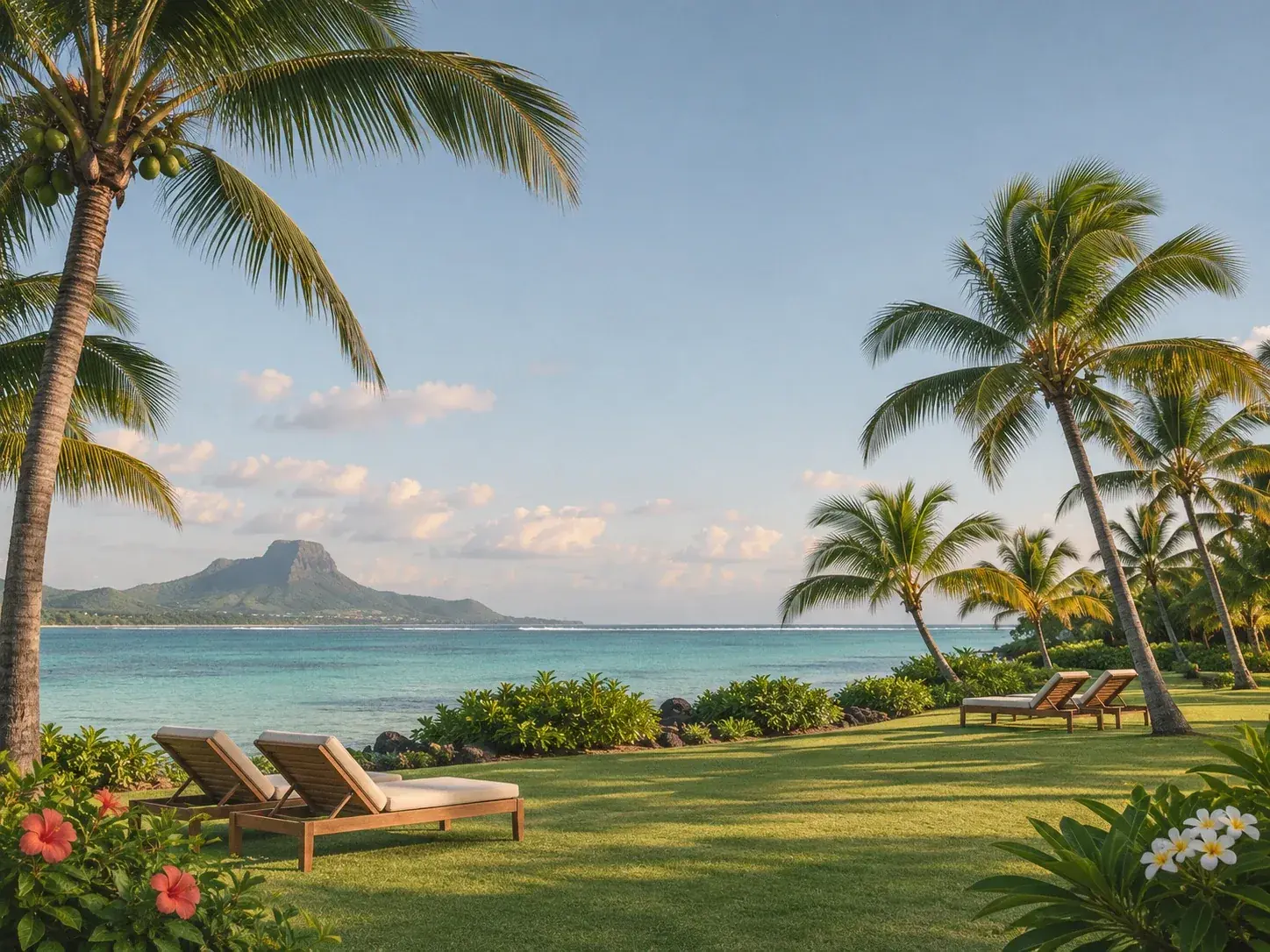
Past the tip, the coast changes pace. Butte à l’Herbe, at Calodyne, offers nearly nine hectares for 560 metres of shoreline, a beach that reaches back from the water more than it runs along it. Grand Gaube keeps its small village beach, which doubled in size in 2024 with the addition of a second plot. Melville lines up nearly two kilometres of public shoreline in three sections, the largest of which takes in Matapan islet, public since 1963. Poudre d’Or unrolls nearly 850 metres in a single stretch, and Pointe des Lascars, opened to all in 2015, is among the most recent in the district.
 AI-generated image
When to come, and how to go about it
The north is one of the sunniest coasts on the island at the end of winter. At Pamplemousses, the weather station that represents the region, the sun shines for an average of 8.2 hours a day in October and 8.7 hours in November, and less than 50 millimetres of rain falls each month from September to November. February, by contrast, receives nearly 240.
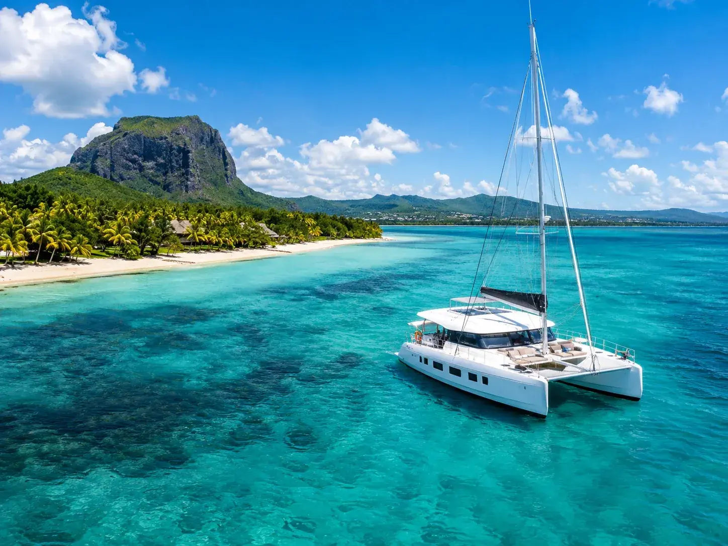
For a full day, Mont Choisy and Trou aux Biches offer space and the shade of the filaos. For a quick swim, the small beaches of Grand Baie and Pereybère will do, provided you accept the crowds at Pereybère, one of the busiest on the island. For the islets, boats leave from Grand Baie or Pereybère. And for peace and quiet, carry on beyond Cap Malheureux, where the north becomes a coast of villages once more.
To book
Things to do from this article
- Book on GetYourGuide →
- Book on GetYourGuide →
- Book on GetYourGuide →
Boat trip · Trou d’Eau Douce
Island adventure on the south-east coast - Book on GetYourGuide →
Boat trip · Le Morne
Private boat: Île aux Bénitiers, a swim near dolphins and lobster - Book on GetYourGuide →
Boat trip · Blue Bay
Blue Bay: glass-bottom boat and snorkelling - Book on GetYourGuide →
Read next
- AI-generated image
Public beaches: the shore that belongs to everyone
- AI-generated image
The sea through the seasons
 AI-generated image
The islets, beaches out at sea
Where to stay
Stay in the north
Places to stay that are still available, with current prices, compared across the main booking platforms.