The east coast, facing the trade wind
The east coast holds the island’s longest public shoreline: long white beaches and a vast lagoon cooled by the breeze almost all year round. From Poste Lafayette to Trou d’Eau Douce, then on to the coves opened to the public in 2024, a coast that rises with the sun.
July 16, 2026
 AI-generated image
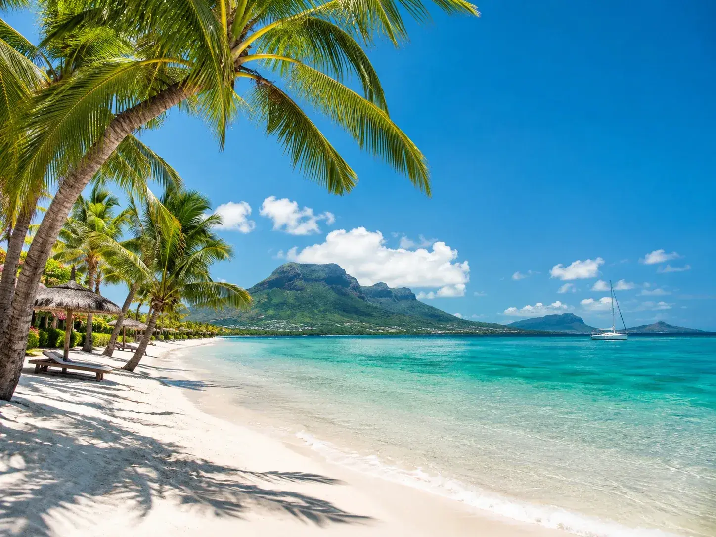
The east coast of Mauritius watches the sun rise. Early in the morning at Trou d’Eau Douce, you watch the sun emerge from the ocean as the fishermen head out to sea; at Belle Mare, nothing beats a walk on the sand at that hour. It is also the coast of the trade wind, a breeze that cools it almost all year round, and of the great clear-water lagoons, where people swim, snorkel and dive.
On paper, the east is the region of the island best endowed with public shoreline. Its forty-four public beaches total 88.8 hectares and more than 15.5 kilometres of seafront, the longest of the four regions. They run from Roches Noires, in the north, to Rivière des Créoles, in the south-east.
Poste Lafayette and Bras d’Eau, the northern end of the coast
The coast opens in the north with Poste Lafayette, a public beach in four sections covering 9.1 hectares. The main one, by the police memorial, accounts for 7.2 hectares on its own, with 620 metres of shoreline. It is a very busy beach: on Easter Monday, a duty ambulance is stationed near the toilet block and also covers Bras d’Eau, its neighbour, 650 metres of public shoreline since 1991.
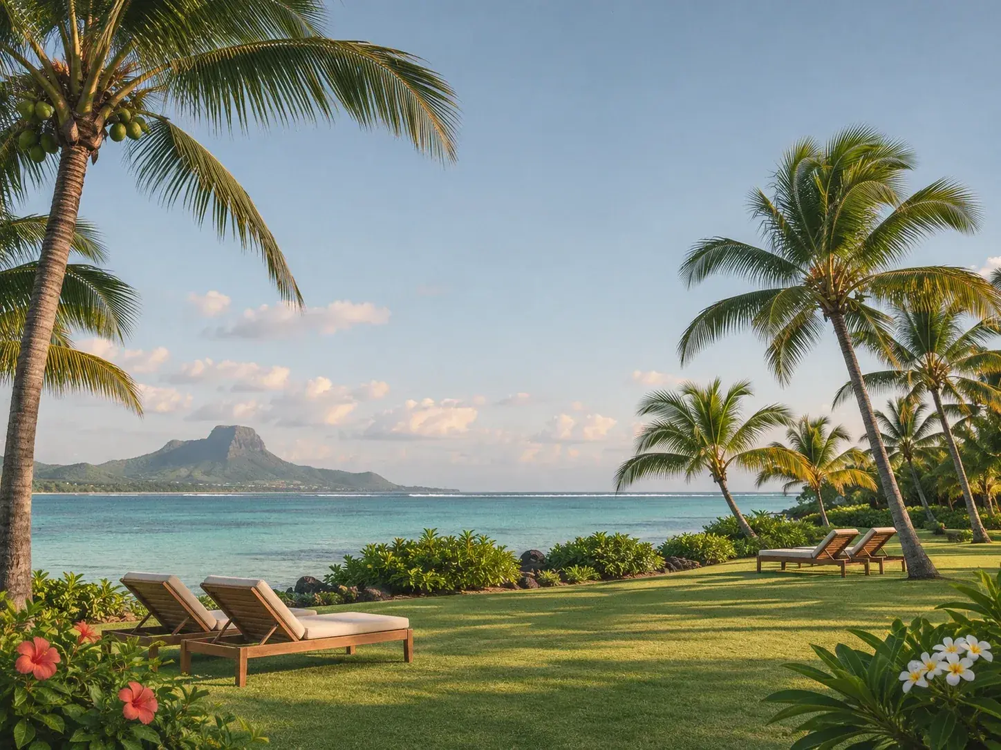
Behind these beaches lies Bras d’Eau National Park, created in 2011, usually quieter than Black River Gorges National Park. Its Coq du Bois loop, a gentle walk within everyone’s reach, crosses an orchard of some two thousand mango trees and two hundred lychee trees. Picnic tables are set out there, and Poste Lafayette beach is close by: a morning in the forest, an afternoon by the water, and the day organises itself.
 AI-generated image
Belle Mare and Palmar, the great expanses
Further south begins the most famous stretch of the coast. Belle Mare is among the longest beaches on the island: white sand, transparent water with glints of aquamarine, the shade of the filaos to dry off in. Public land here covers 29 hectares and 2,420 metres of shoreline, in four sections. The one beside the Residence hotel has been public since 1964, the oldest in the whole region; the other three since 1991. A beach services office stands on the sand itself, and on Easter Monday the duty ambulance is stationed here to cover Palmar and Trou d’Eau Douce as well.
Palmar extends Belle Mare to the south. Its main beach, 18.5 hectares for about 1,400 metres of shoreline, is the largest single section of public beach on the entire east coast, larger even than any at Belle Mare. Two smaller sections are identified by the Ambre and Surcouf hotels, which are their neighbours and not their owners.
Trou d’Eau Douce, harbour for the islands
Trou d’Eau Douce is a fishing village steeped in history, its streets lined with restaurants and some of its walls covered in murals by an artist. Its public beach is divided into two sections opened in 1991: the one by Le Tropical hotel, 360 metres, and the one at Four à Chaux, 750 metres.
Above all, the village is the departure point for Île aux Cerfs. From the Pointe Maurice jetty, the shortest crossing, boats shuttle back and forth every thirty minutes from 9:30 to 18:00. The day is spent on the island’s beaches, livelier at the northern tip and more peaceful as you follow the east coast beneath the filaos.
Further south, Grande Rivière Sud-Est keeps a small beach of 110 metres, in the village named after the island’s longest river, which people travel by kayak to approach its waterfalls. Then comes Quatre Soeurs, a long ribbon of 723 metres for barely more than a hectare, a strip of sand some fifteen metres wide that follows the shore.
The coves opened in 2024
The east coast has another distinctive feature: it is here that public land has grown most in recent years. In 2024, eight new sections of beach were declared public, from Poste Lafayette to Providence, and seven of them together add nearly 5.2 kilometres of shoreline. Anse Jonchée, at 1,650 metres, is now the longest section of public beach in the whole region; Providence adds 1,200, Pointe du Diable nearly 1,170, Pointe aux Feuilles 775. Pointe du Diable, which until then had only a little over seventy metres of public shoreline, changed scale at a stroke.
These south-eastern beaches are less well known than Belle Mare, and the landscape is wilder. At Bambous Virieux, another name on the 2024 list, you walk north in the morning along a quiet coast, between emerald-green fields and mountains in the distance. To take in the whole lagoon at a glance, climb Lion Mountain.
Breeze and rain
The trade wind has its downside: the east is also the wettest stretch of the coastline. At Fuel, the station that represents the region, an average of nearly 1,960 millimetres of rain falls each year, 334 of them in February, and from January to April there are seventeen days a month with more than a millimetre of rain. October is the driest month, with 62 millimetres. The sun shines for six to a little over seven hours a day, less than on the west coast, and the mean wind speed rises from 8 kilometres an hour in January to a little over 12 in July.
These figures take nothing away from the coast; they explain it. Showers often pass quickly, the breeze softens the heat, and the wind that strengthens in winter delights kitesurfers. The east suits those who like to rise early, swim in clear water and watch the day begin over the sea.
To book
Things to do from this article
- Book on GetYourGuide →
Boat trip · Trou d’Eau Douce
Island adventure on the south-east coast - Book on GetYourGuide →
Horse riding · Belle Mare
Horse ride on the beach, Belle Mare - Book on GetYourGuide →
Boat trip · Grande Rivière Sud-Est
Grande Rivière Sud-Est waterfall, Île aux Cerfs and barbecue, with pick-up - Book on GetYourGuide →
Catamaran cruise · Grande Rivière Sud-Est
Catamaran cruise around the five islands of the south-east - Book on GetYourGuide →
Catamaran cruise · Trou d’Eau Douce
Catamaran cruise to Île aux Cerfs and the Grande Rivière Sud-Est waterfall - Book on GetYourGuide →
Boat trip · Trou d’Eau Douce
Speedboat cruise to five islands: snorkelling, lunch and open bar
The addresses
Places mentioned
Read next
- AI-generated image
Public beaches: the shore that belongs to everyone
- AI-generated image
The sea through the seasons
 AI-generated image
The islets, beaches out at sea
Where to stay
Stay on the east coast
Places to stay that are still available, with current prices, compared across the main booking platforms.