Round the island in ten days
Forty-five kilometres from east to west, sixty-one from north to south: Mauritius can be seen in full in ten days, without rushing, provided you change hotels two or three times. A clockwise tour, from Pamplemousses to Le Morne.
July 25, 2026
 AI-generated image
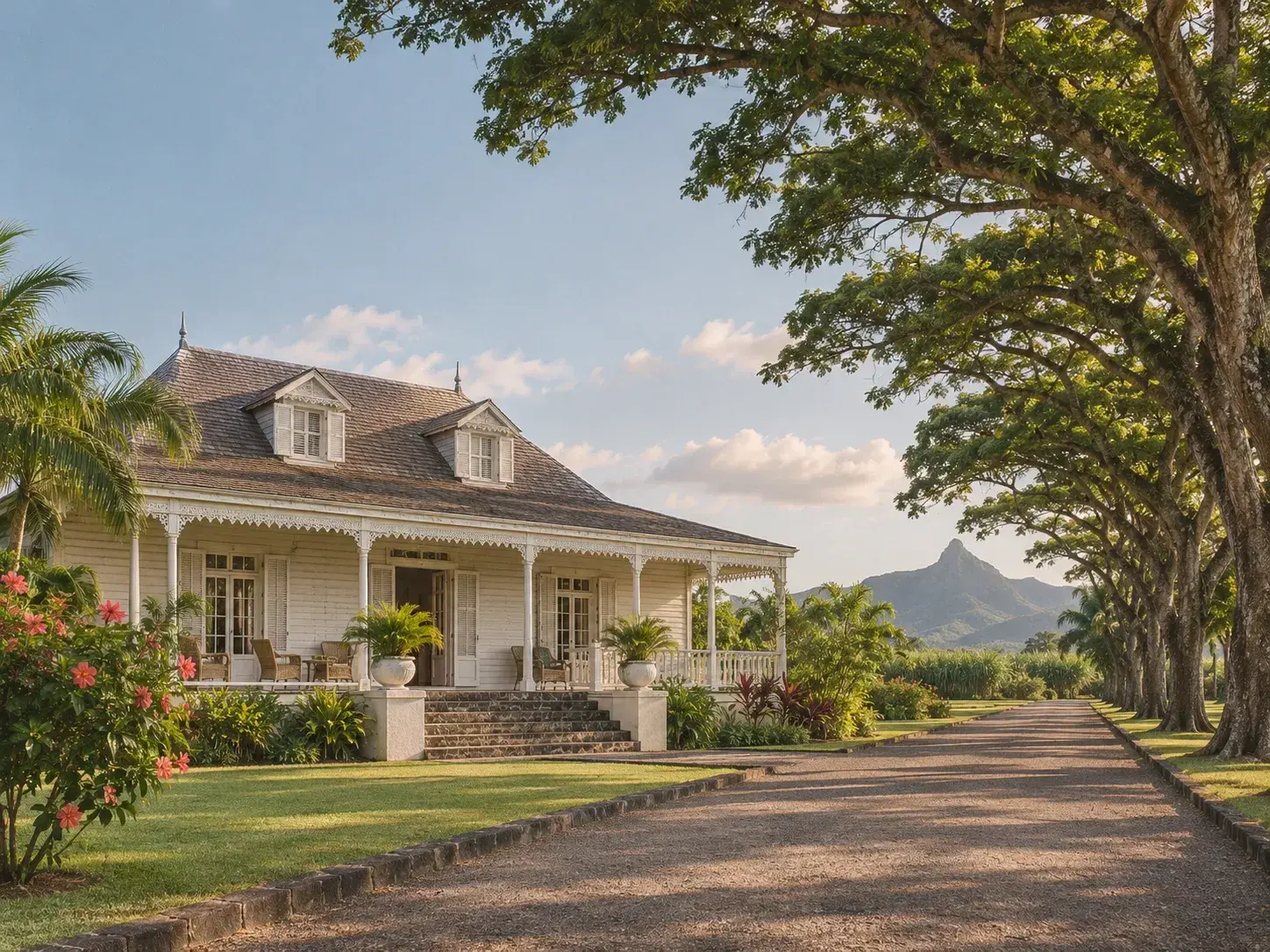
Mauritius covers 2,030 square kilometres. From east to west it measures about 45 kilometres, which take roughly an hour and a quarter to cross by car; from north to south, about 61 kilometres, for an hour and twenty minutes. These two figures say what matters: in ten days, you can go all the way round without rushing, provided you move your base two or three times rather than setting out every day from a single hotel. Driving is on the left, and priority goes to traffic from the right.
Days 1 to 3: the north, then the capital
The first morning is spent in Pamplemousses, at the Sir Seewoosagur Ramgoolam Botanical Garden, open every day from 8.30am to 5.30pm: thirty-three hectares, 823 species, and the Château Mon Plaisir, dating from 1823. In the afternoon, the Château de Labourdonnais in Mapou, completed in 1859, can be visited until last admission at 3.45pm. On the second day, you board a boat in Grand Baie for the northern islands, Coin de Mire, where no one lands, and Gabriel Island, then end the day at Cap Malheureux, in front of the red-roofed church.
The third day belongs to Port Louis, whose centre is best explored on foot: the Caudan Waterfront, the Central Market, the Aapravasi Ghat and Chinatown are all within walking distance of one another. At the Blue Penny Museum, the “Post Office” stamps are lit for only ten minutes an hour, at a quarter past each hour; the morning is built around that appointment. At the market, you eat standing up: a dholl puri, a samosa, a glass of alouda. As the light falls over the harbour, the Citadel, built by the British from 1830 to 1840, looks down over the city and its port.
 AI-generated image
Days 4 and 5: the east coast
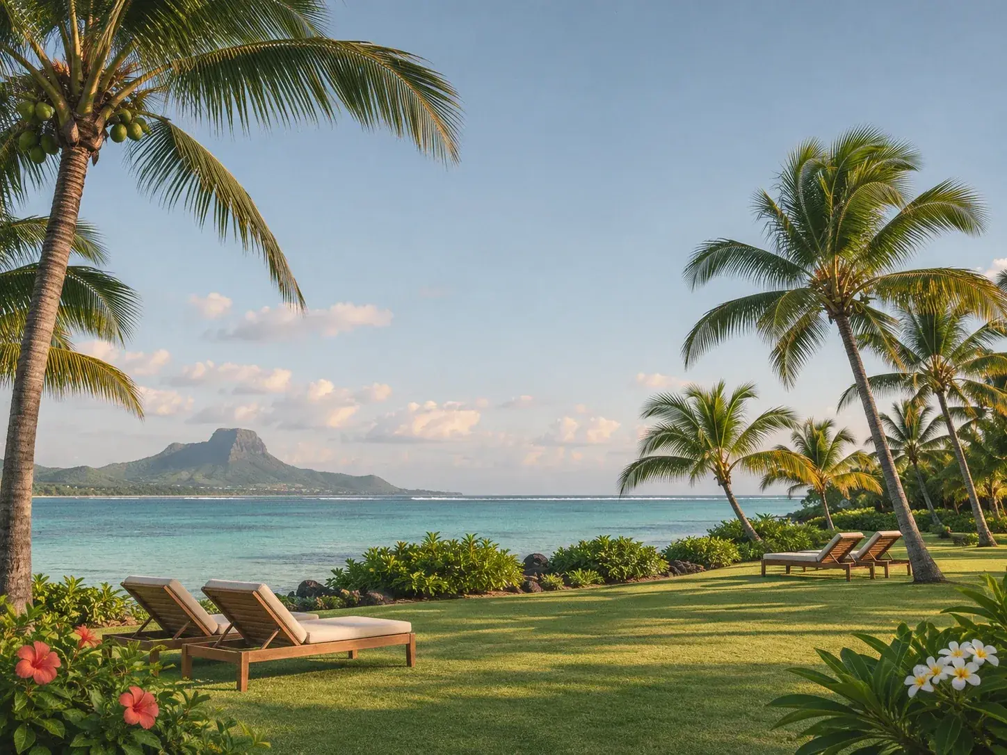
Now the base moves to the east coast. The market at Centre de Flacq, the largest open-air market on the island, is best visited on a Wednesday or a Sunday, when every stall is open. Belle Mare beach then unrolls more than 2.4 kilometres of public shoreline. On the fifth day, from the Pointe Maurice jetty at Trou d’Eau Douce, twenty-four-seat boats leave every thirty minutes, from 9.30am to 6pm, for Île aux Cerfs: 87 hectares with neither inhabitants nor hotels, lively beaches at the northern tip, quieter ones along the east coast, under the casuarinas. Back in the village, La Case Poisson grills in the open air fish bought that same morning from the small-scale fishermen.
Days 6 and 7: the south-east, then the wild south
The sixth day heads down towards Grand Port. At Vieux Grand Port, the Frederik Hendrik Museum tells the story of the island’s first human settlement, around the Dutch fort of 1638 on which the French built after 1753; it is closed on public holidays, and closes at noon on Sundays. Offshore, Île aux Aigrettes, a nature reserve since 1965, is explored on a guided tour, in search of the pink pigeon. In the afternoon, Blue Bay Marine Park can be discovered with a snorkel, or without getting wet, from a glass-bottomed boat.
The seventh day follows the south coast, the coast of cliffs. At Souillac, the Telfair Garden opens onto a coastal path towards a wild sandy beach, then on to Gris Gris, where people come to walk and watch the ocean, never to swim: the currents are strong and the waves huge. From the beach, you reach La Roche qui Pleure. At Rivière des Anguilles, La Vanille Nature Park is home to more than a thousand Aldabra giant tortoises roaming free; arrive before 3pm to see everything.
 AI-generated image
Days 8 and 9: the uplands, Chamarel and Le Morne
The eighth day climbs into the uplands of Savanne. At Ganga Talao, Grand Bassin, a thirty-three-metre statue of Shiva watches over a crater lake lined with shrines. The Route du Thé links three estates; Bois Chéri, the oldest tea plantation on the island, offers a taste of its vanilla tea, and the Domaine de Saint Aubin serves lunch facing its spice gardens.
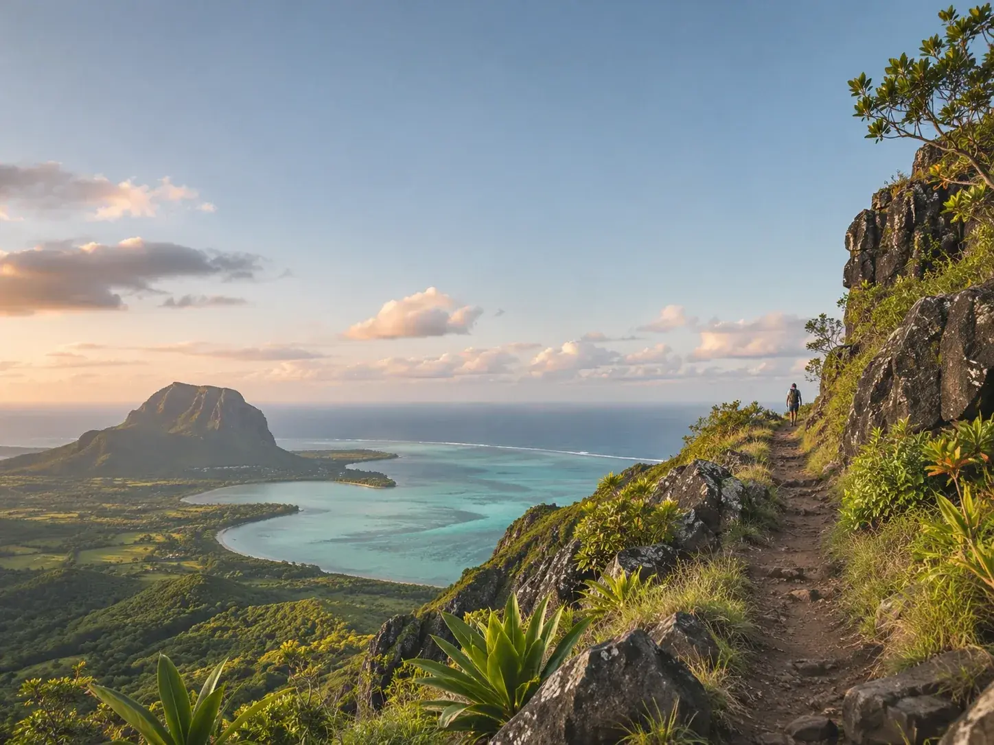
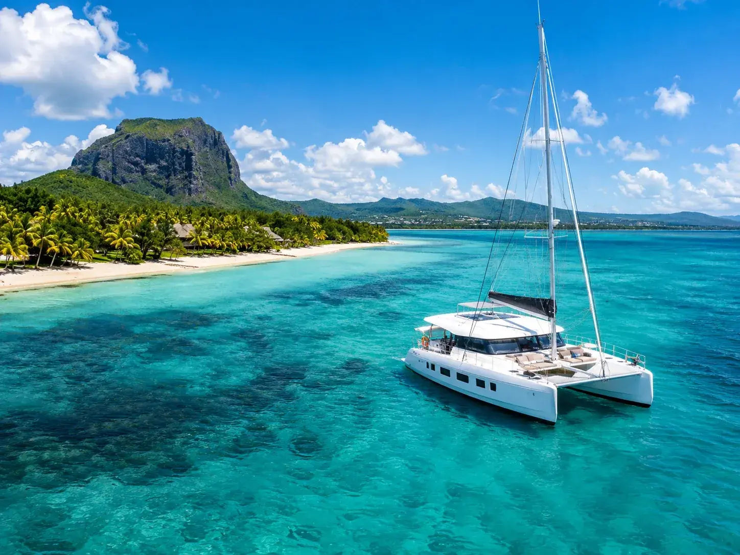
The ninth day reaches Chamarel. The Seven Coloured Earth takes about an hour: two viewpoints over the waterfall, the coloured dunes, then the Aldabra tortoises beneath the trees. The Rhumerie de Chamarel, closed on Sundays, can be toured as far as its ageing cellars, and its restaurant, L’Alchimiste, serves within the grounds. The road back down to the coast runs through Baie du Cap, where the B9 follows the sea for some forty kilometres between Souillac and Grande Rivière Noire, and where the Macondé rock is climbed by a narrow staircase. Le Morne Brabant closes off the south-western tip; climbing it, with a guide, takes about four hours.
Day 10: the west, then the flight
The last day is spent in the west. At Cascavelle, Casela Nature Parks opens its gates at 9am, over 350 hectares of savannah and parkland. At La Preneuse, a Martello tower guards the beach, and in the evening you watch the sun set there, with Le Morne Brabant in the distance. The international airport lies in the south-east, about twenty kilometres south-east of Curepipe. Before heading there, the Trou aux Cerfs crater, at an altitude of 605 metres on the edge of Curepipe, offers a last view of Rempart Mountain, the Trois Mamelles and the Moka Range.
To book
Things to do from this article
- Book on GetYourGuide →
Day tour by car
Panoramic adventure in the south-west - Book on GetYourGuide →
Day tour by car · Port-Louis
A swim near wild dolphins, Port Louis and the botanical garden - Book on GetYourGuide →
Day tour by car
Casela Nature Parks and Flic en Flac beach - Book on GetYourGuide →
Day tour by car · Chamarel
Chamarel: tour of the four parks - Book on GetYourGuide →
Day tour by car
Chamarel and Le Morne: private tour with no commission stops - Book on GetYourGuide →
Day tour by car
Chamarel, Le Morne and rum tasting: highlights of the island
The addresses
Places mentioned
- La Case PoissonRestaurant · Trou d’Eau Douce
- Telfair GardenGarden · Souillac
Read next
- AI-generated image
A rainy day in Mauritius
 AI-generated image
A week on the water
- AI-generated image
A week on foot
Where to stay
Stay in Mauritius
Places to stay that are still available, with current prices, compared across the main booking platforms.