Piton de la Petite Rivière Noire, the roof of the island
At 828 metres, the highest point in Mauritius is reached in five to six kilometres, in Black River Gorges National Park. The final climb is demanding, and the summit, when the clouds allow, shows the whole island.
August 12, 2026
 AI-generated image
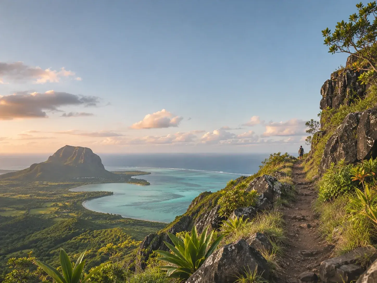
The Piton de la Petite Rivière Noire does not tower very high over Mauritius, and that is precisely its charm. At 828 metres above sea level, it is the island’s highest point, ahead of the Pieter Both, second, and Le Pouce, third. It is also known as Black River Peak. It rises in Black River Gorges National Park, in the hilly south-west of the island, and its ascent takes just a few hours.
A short climb, a steep finish
The route is five to six kilometres long and takes between an hour and a half and two and a half hours. That is not much for the roof of an island, and it would be a mistake to conclude that the walk is a formality. The last stretch, near the summit, is the demanding part of the path, where the effort is concentrated. It is well worth it for what it reveals.
The summit is a lookout over the whole island, through three hundred and sixty degrees. On a clear day the eye runs over the softened ridges of the forest to the line where the sea meets the horizon. But you must accept it in advance: clouds may settle on the summit and hide the view. As early as April 1836, Darwin, arriving from the north, watched white clouds gathering around the island’s peaks. Here, the clouds are part of the landscape.
 AI-generated image
What you walk through
The Piton cannot be understood without the park around it. Good-quality native forest now covers less than 2 per cent of the surface of Mauritius; it is found on the ridges, on the offshore islets, and in the two national parks of Black River Gorges and Bras d’Eau. The walker climbing to the highest point therefore passes through one of the last refuges of the island’s endemic flora and fauna.
This refuge is maintained by hand. In the park, a network of thirteen conservation management areas covers 85 hectares. Some are fenced to keep out deer and wild boar, and invasive plants (Chinese guava, privet and liane cerf) have been pulled out so that the native forest can regenerate on its own. Their names map out a geography of the park: Pétrin, Mare Longue, Macchabée, Brise Fer, Florin, Bel Ombre and, among the areas restored without fencing, Plateau Remousse, Plaine Champagne, Plaine Paul or Mare aux Joncs. The managed area keeps growing, to protect native species where they live.
The birds follow the forest. The western population of the Mauritius kestrel lives in and around the park, and it is in certain parts of the park that the echo parakeet gathers in large numbers. The attentive walker therefore looks up as often as down at their feet.
Before and around the summit
The Pétrin visitor centre is the natural starting point for anyone wanting information: ask there for opening hours, the entrance fee and a map of the trails. From there, too, a walk that is almost flat from end to end leads beneath tangled trees and along thickets of guava to a lookout over green mountains and, in the distance, the sea.
For families, the Plateau Remousse viewpoint is an hour’s walk away, with the chance to bathe in cool streams and perhaps glimpse the island’s monkeys or the pink pigeon.
The Piton, finally, can also be admired from afar. At Chamarel, from Sublime Point in the Ebony Forest reserve, it appears in the panorama as the island’s highest peak, alongside Le Morne, Le Pouce, the Pieter Both and Piton Canot. Recognising it from below, after having climbed it, is one of the small pleasures of a stay in the south-west.
The right frame of mind
The highest point in Mauritius is no mountaineering feat. It is a walk of a few hours, whose difficulty is concentrated at the end, and whose reward depends on the sky. It should be approached with that humility: set off well informed, accept that you may find the summit in mist, and keep your eyes on the forest on the way down. For the real distinction of the place is not its altitude. It is that the path to the island’s highest summit passes through what remains of its original forest, kept standing plot by plot.
To book
Things to do from this article
- Book on GetYourGuide →
Guided hike · Chamarel
Guided sunset hike up Piton Canot, Chamarel - Book on GetYourGuide →
The addresses
Places mentioned
Read next
- AI-generated image
The dodo, a bird we hardly know
- AI-generated image
Black River Gorges, the last refuge
- AI-generated image
Kestrel, pink pigeon, parakeet: three birds back from the brink
Where to stay
Stay around the gorges
Places to stay that are still available, with current prices, compared across the main booking platforms.