Le Pouce, in Darwin’s footsteps
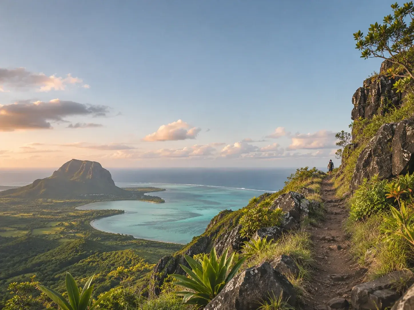
Above Port Louis, a spur of rock raises its thumb to the sky. On 2 May 1836, Charles Darwin reached its summit; today a waymarked trail leads there in three to four hours, there and back.
July 4, 2026
 AI-generated image
Le Pouce wears its name as though it were self-evident. Its summit ends in an upright spur of rock, a thumb raised above the city, and it is this shape that gave the mountain its name. The third-highest peak in Mauritius, after the Piton de la Petite Rivière Noire and the Pieter Both, it belongs to the Moka Range and stands close behind the capital. And its ascent has left an account signed by a great name.
The mountain is also a protected area. A nature reserve of 68.8 hectares bears its name, designated under the Forests and Reserves Act of 1983.
A naturalist on the way home
On the morning of 29 April 1836, the Beagle rounded the northern tip of Mauritius. Charles Darwin, homeward bound for England, noted what the island offered the eye. In the foreground lay the sloping plain of Pamplemousses, scattered with houses and coloured by great fields of sugar cane of a brilliant green. Towards the centre, clusters of wooded mountains rose out of this cultivated plain, their summits cut into sharp points, as so often happens with old volcanic rocks, and masses of white cloud gathered around the peaks. The whole scene, he wrote, had an air of perfect elegance.
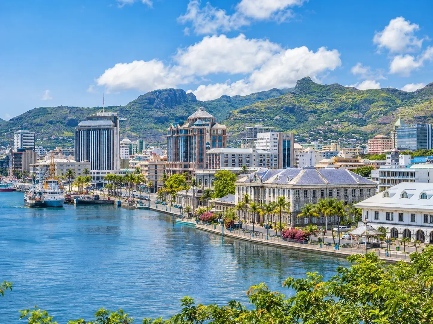
He spent the following day exploring Port Louis, a clean, regular town which he was told had 20,000 inhabitants, and was surprised to find it so French, so many years after the island had passed under English government. On 1 May, a Sunday, he walked along the coast north of the town, across a plain of black lava covered in coarse grass and bushes. The next day, he climbed Le Pouce.
 AI-generated image
What Darwin saw from the summit
His account runs to a few lines, and it has a geologist’s precision. The mountain, he writes, owes its name to a thumb-shaped projection, and it rises close behind the town to a height he estimates at 2,600 feet. From the summit he read the architecture of the island: at the centre, a great plateau formed of comparatively recent lava flows, oval in shape, thirteen geographical miles across its shorter axis; all around it, old, broken basaltic mountains whose strata dip towards the sea.
These border mountains raised a question he left unsettled. One theory of the day saw them as craters of elevation, formed by a sudden doming of the ground. Darwin set against it objections he considered insurmountable, without bringing himself, for all that, to see them as nothing more than the remains of immense volcanoes whose summits had been blown off or had sunk beneath the earth.
Then the scientist gave way to the traveller. From this lofty post the view of the island was excellent; on this side the country appeared well cultivated, divided into fields and dotted with farmhouses. He was assured that only half the land was yet in production, and that sugar exports had increased seventy-five-fold since the English took possession, twenty-five years earlier. He attributed part of this prosperity to the excellent state of the roads. On 9 May, the Beagle left Port Louis.
The trail today
Le Pouce is still climbed, by a waymarked trail. Allow three to four hours to reach the summit and come back down. Several approaches lead there, and they are not all the same length. Along the way the ground is rocky, and the final stretch is climbed using your hands: footwear made for rock is essential. Set off early, to stay ahead of the heat.
This is a walk for those who enjoy effort. Of the hikes recommended to families on the island, it is the most demanding, best kept for families in search of a challenge. The reward is equal to the effort: at the top the view opens through three hundred and sixty degrees, and the eye drops straight down onto Port Louis. The central plateau, the ring of mountains around it, the fields on the town side: what Darwin described can still be recognised in a single sweep of the horizon.
 AI-generated image
The mountain and the city
Le Pouce belongs as much to the landscape of the capital as to that of the mountains. In the centre of Port Louis, the Company’s Garden is bordered on one side by the Pouce stream and on the other by the Butte à Tonier stream. The walk over, you come back down into town, where alouda, a sweet, colourful drink, is a children’s delight.
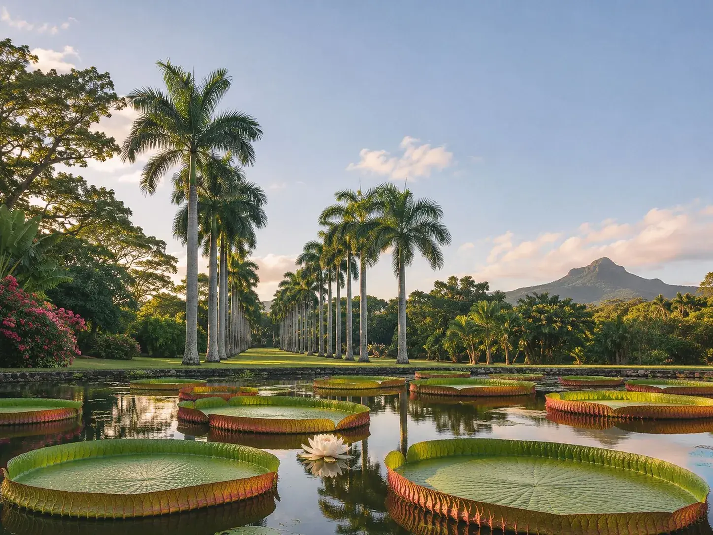
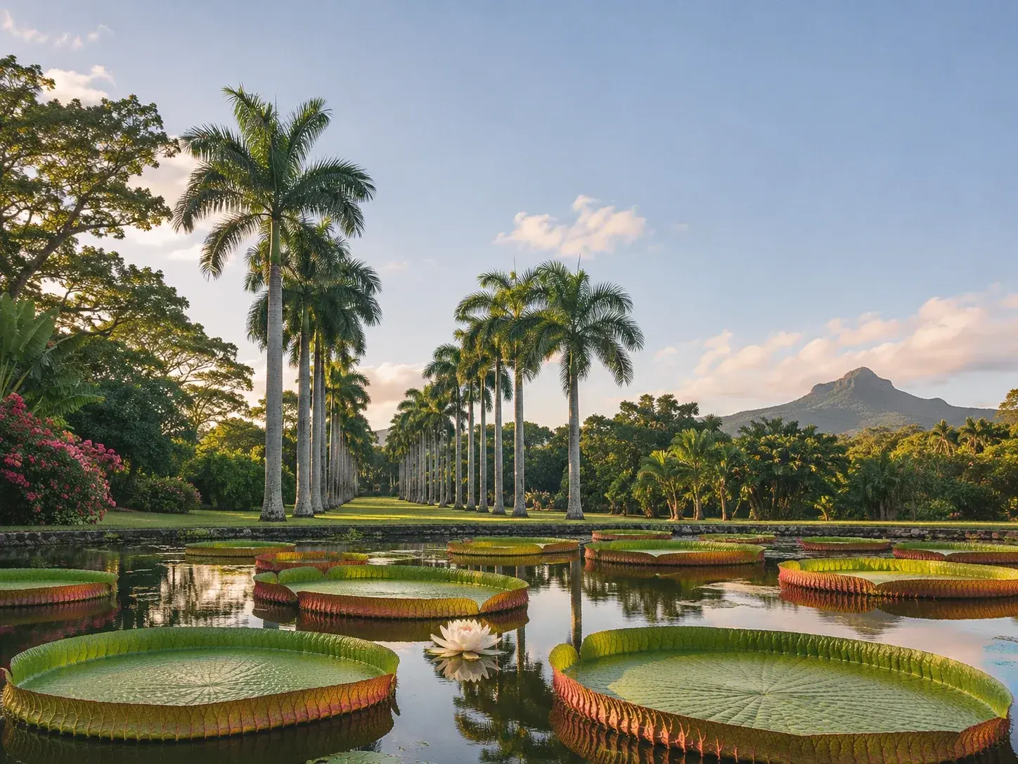
The naturalist’s name has settled elsewhere on the island. In the botanical garden at Pamplemousses, an avenue is named after Charles Darwin, among paths named after the botanists, governors and intendants who shaped the history of the place.
Nearly two centuries after his visit, the lesson of the summit has not changed. From above, Mauritius reads like a relief map: a plateau, a ring of mountains, a city at their foot, and the sea all around.
To book
Things to do from this article
- Book on GetYourGuide →
Guided hike · Moka
Hike up Le Pouce and visit to a waterfall - Book on GetYourGuide →
Guided hike · Moka
Guided hike up Le Pouce, with a guide from the area - Book on GetYourGuide →
Guided hike · Moka
Guided 3.5-hour hike up Le Pouce, Moka
The addresses
Places mentioned
Read next
 AI-generated image
The dodo, a bird we hardly know
- AI-generated image
Black River Gorges, the last refuge
- AI-generated image
Kestrel, pink pigeon, parakeet: three birds back from the brink
Where to stay
Stay around Moka
Places to stay that are still available, with current prices, compared across the main booking platforms.