Le Morne Brabant, the ascent
Three to four hours, steep and rocky passages, a final stretch closer to climbing than walking: Le Morne has to be earned. At the top, the reefs and lagoons of the south-west, and the memory of those who hid there to stay free.
October 3, 2026
 AI-generated image
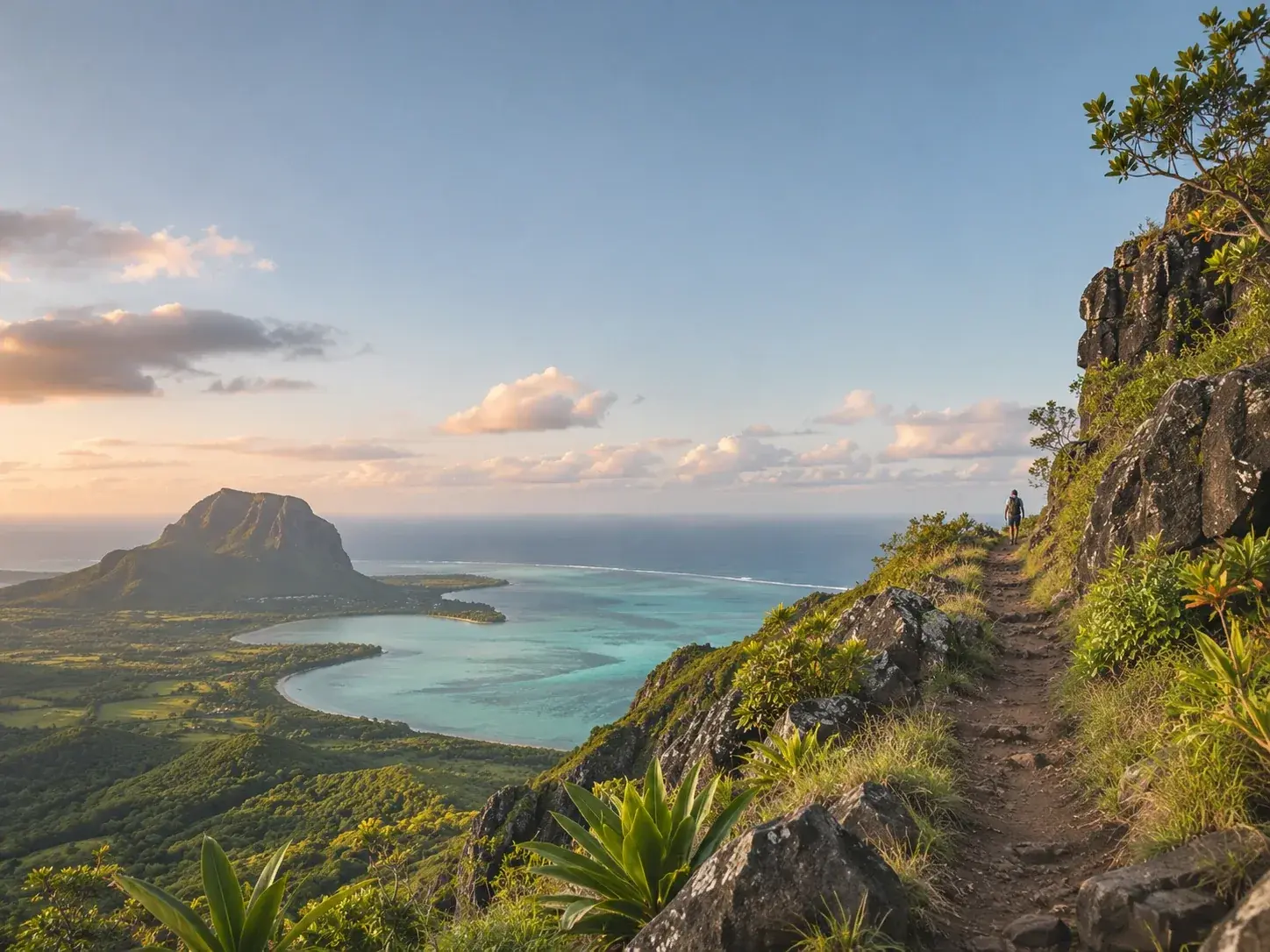
Le Morne Brabant closes off the south-western tip of Mauritius, in the district of Black River. From afar, from the ridges of Chamarel or the heights of Tamarin, it is the silhouette that ends the south-western horizon; up close, it is a mountain to be climbed. Its cultural landscape is inscribed on the UNESCO World Heritage List, and its ascent ranks among the island’s great walks.
A mountain and a memory
Le Morne is more than a landform. In the eighteenth century and the early nineteenth, the mountain served as a refuge for runaway slaves. It has remained a symbol of suffering, sacrifice and freedom, and it is this history that earned it its place on the World Heritage List. At the foot of the mountain, the International Slave Route Monument keeps that history in view, and it would be a pity to climb without stopping there first.
A good guide brings this story to life during the climb. It is one of the reasons, and not the least, not to climb alone. The same story is told as far away as the ridges of Chamarel: at Ebony Forest, the guided hike to Sublime Point recalls the slaves who took refuge on Le Morne Brabant and the reasons for its World Heritage inscription, with the mountain in full view.
The climb
The mountain is open to the public, and anyone can attempt the ascent. Allow three to four hours. The path includes steep, rocky passages, and less confident walkers would do well to follow a guide; organised outings are guided in any case, over about four hours. The final stage is closer to rock climbing than to walking, and it is by this stage that you reach the summit.
Set off early, often before dawn. The morning light on the ocean is one reason; the crowds are another, for Le Morne is busy, and those who leave first find the viewpoints free, both halfway up and at the top. Lace up your walking boots, make sure you have the essentials, and go.
Up there, the view takes in the reefs and lagoons, the turquoise swirling at the foot of the mountain. This is the moment to remember what the mountain once sheltered.
The flower that grows only there
On the slopes of Le Morne Brabant, and nowhere else, grows the boucle d’oreille, Trochetia boutoniana. Its red, bell-shaped flowers hold a coloured nectar, and it is pollinated by geckos and by the Mauritius grey white-eye, the pic-pic. On 12 March 1992 it was declared the national flower of Mauritius.
There is a kind of justice in this detail. The mountain that sheltered fugitives is also the only refuge in the world of an entire species, and it is this flower, born of its slopes alone, that the country chose as its emblem.
 AI-generated image
Around the mountain
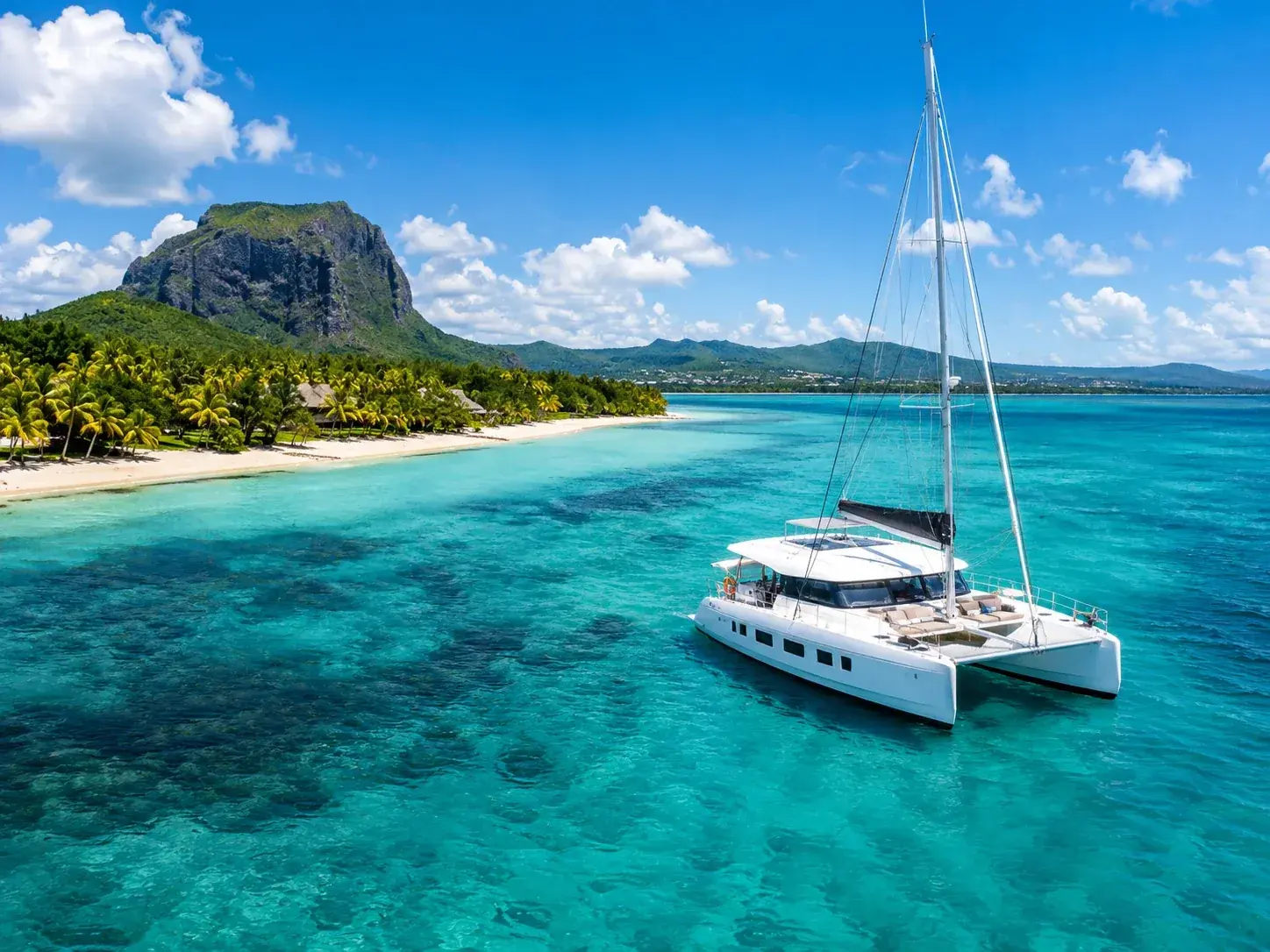
The descent calls for the sea. Le Morne beach awaits on the way back, and the peninsula is one of the great kitesurfing spots, around One Eye, at the Pointe du Morne: in the south the trade winds blow strong and steady, especially from April to November. Offshore, dolphins frequent the west coast, bottlenose and spinner dolphins, often in groups of twenty or so, and more than a hundred are sometimes seen heading out to sea beyond the peninsula. Further out still, the “underwater waterfall”, sand and silt carried by currents over the edge of the shelf on which the island rests, only truly takes shape when seen from the air.
Le Morne can also be admired from elsewhere. From Sublime Point, at Ebony Forest, it towers over the clear waters around Île aux Bénitiers. From the summit of the Tourelle du Tamarin, it rises behind the lagoon of that same island. And at Baie du Cap, near its foot, the Macondé rock offers, at the top of a narrow staircase, a view over the sea and the countryside. Below it runs the B9 coast road, which hugs the shore for some forty kilometres between Souillac and Grande Rivière Noire, the sea on one side, vegetation and mountains on the other: a fine way to arrive at Le Morne from the south. Île aux Bénitiers itself, uninhabited, covers a little over 65 hectares of the lagoon.
To climb Le Morne is to take in, in a single morning, a whole island: the sea, the rock, a unique flower and a history better understood once you have carried it all the way to the top.
To book
Things to do from this article
- Book on GetYourGuide →
Guided hike · Le Morne
Le Morne Brabant: guided eco-hike and transfers - Book on GetYourGuide →
Guided hike · Le Morne
Le Morne Brabant: guided hike through the landscapes - Book on GetYourGuide →
Guided hike · Le Morne
Le Morne Brabant: panoramic route, an easy hike without the summit - Book on GetYourGuide →
Guided hike · Le Morne
Hike on Le Morne Brabant - Book on GetYourGuide →
Guided hike · Le Morne
Hike on Le Morne Brabant with a historical immersion - Book on GetYourGuide →
Guided hike · Le Morne
Hike on Le Morne Brabant, the mountain of escape
Read next
 AI-generated image
The dodo, a bird we hardly know
- AI-generated image
Black River Gorges, the last refuge
- AI-generated image
Kestrel, pink pigeon, parakeet: three birds back from the brink
Where to stay
Stay at Le Morne
Places to stay that are still available, with current prices, compared across the main booking platforms.