Proclaimed public beach
Cap Malheureux Public Beach
Cap Malheureux · Rivière du Rempart
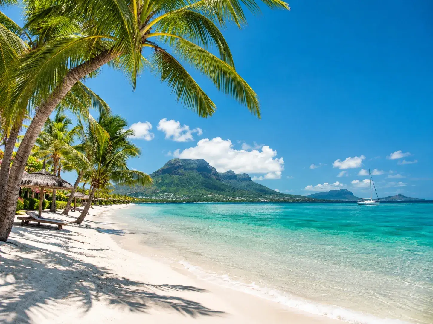 AI-generated image
Cap Malheureux is a public beach in the Rivière du Rempart district, at the northern tip of Mauritius. Public since 1991, it covers 0.2 hectare and meets the sea along some 39 metres: the shortest shoreline of any public beach in the north. Its area, on the other hand, is not the smallest: three sections of Grand Baie and part of the Pas Géométriques of The Vale are smaller, yet all run along the sea for a greater distance.
At a glance
- Beach
- Public beach since 1991, 0.2 hectare and some 39 metres of shoreline: the shortest shoreline in the north
What sets it apart
Thirty-nine metres is the length of a tennis court and a half. Cap Malheureux public beach is tiny, far more so than the fame of the place suggests. By way of comparison, neighbouring Bain Boeuf has 727, and Mont Choisy close to 1,400.
The mood
A pocket-sized beach, with no duty ambulance on public holidays and away from the big, busy beaches of the north.
Highlights
- The shortest shoreline in the north: some 39 metres
- 0.2 hectare in area, which is not the smallest in the north
- A public beach since 1991
Good to know
- Thirty-nine metres of shoreline: a handful of people fill the beach. This is not a place for several families to settle in for the day.
- No emergency post is stationed here on public holidays.
- The neighbouring public beaches are far larger: Bain Boeuf to the west, 727 metres of shoreline, and Anse la Raie to the east, 110 metres.
Getting there
The beach lies at the northern tip of the island, in the Rivière du Rempart district, east of Bain Boeuf. On public holidays the nearest emergency post is the Pereybère ambulance, which covers the neighbouring beaches.
Where to stay
Stay around this place
Places to stay that are still available, with current prices, compared across the main booking platforms.